Come Raggiungerci
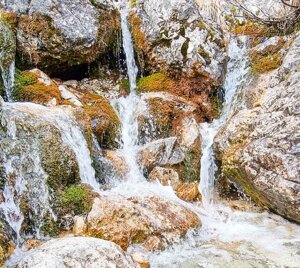
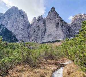
Il Rifugio si trova ai piedi delle verticali pareti settentrionali della Creta Grauzaria e della Cima di Gjai; è adagiato su un ripiano boschivo alla testata della valle del Rio Flop e costituisce un ottimo punto di appoggio per escursioni e ascensioni nel gruppo Sernio-Grauzaria.
Carta Tabacco 018
Coordinate GPS:
lat 46.476840
long 13.161111
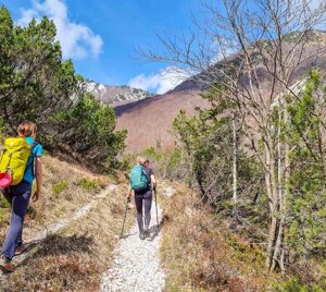
Da Moggio Udinese
Durata 1h 30min / Dislivello circa 500 m.
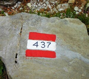
Si segue per circa per 8,5 Km la strada che percorre la Valle Aupa (SP 112); qualche chilometro dopo il paesino Grauzaria, sulla destra orografica, prima di attraversare il ponte sul rio Flop (primo piccolo parcheggio), si imbocca la stradina asfaltata che conduce alla località "Case Nanghets" (714 m.), da qui (secondo parcheggio) si prosegue a piedi lungo il sentiero 437 che conduce al rifugio.
Dalla frazione di Dierico (comune di Paularo)
Durata 3h / Dislivello circa 900 m.
Si raggiunge l’abitato di Dioor e seguendo il percorso dell’Alta Via Val d’Incarojo (segnavia 437) si giunge al rifugio.